Subtotal ₹0.00


Email :67
The Delhi Development Authority (DDA) has issued a public notice proposing significant modifications to the Master Plan-2021 and Zonal Development Plans, outlining a major land use shift across key areas in North West and South Delhi.
The proposed changes involve rezoning multiple land parcels in Narela, Rohini, and Zone J from residential, commercial and utility uses to recreational spaces, aimed at boosting green cover and public amenities, according to a report by The Tribune.
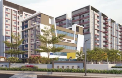
While Narela and Rohini fall in North West district, Zone J in Delhi is a major planning zone covering South Delhi-II, spanning nearly 15,178 to 22,979 hectares according to the DDA master plans. It covers 30 villages and census towns, bounded by the Mehrauli-Badarpur road (North), NH-8 (West), and Delhi’s boundary (South/East).
The latest shift aims to enhance the green cover and public amenities within these rapidly developing urban pockets.
Amendments to the Master Plan-2021 combine large-scale rezoning with a detailed ‘Transit Oriented Development’ (TOD) framework that seeks to reorganise land around mobility corridors.
At the heart of the changes lies a clear redistribution of land functions. Across Narela, Rohini and Zone J, multiple parcels earlier marked for residential, commercial, and utility purposes are proposed to be converted into recreational spaces. The numbers underline the scale. In Narela, this includes 11 acres in Tikri-Khurd and 15 acres in Bawana, along with over 20 acres near UER-II in Alipur. In Rohini’s Sector-32, 2.16 acres are proposed for conversion, while more than 32 acres in Maidan Garhi and Satbari will be opened up for recreational use. A smaller but precise intervention is the conversion of a 752.51 square metre facility centre near the Mother Dairy Plant into a green space integrated with surrounding parks.
Yet, the notification does not treat green expansion in isolation. In the same planning cycle, 12.38 hectares of recreational land and 7.25 hectares of public and semi-public land in Narela are proposed to be reclassified for “Transportation” use to enable a metro depot. The juxtaposition is deliberate, reflecting a model where environmental and infrastructure priorities are negotiated rather than separated.
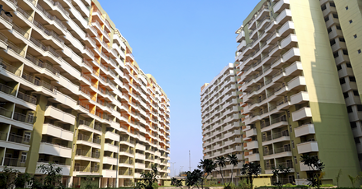
The policy backbone supporting these changes is the TOD framework, which defines development zones within a 500-metre corridor along metro lines and a similar radius around transit nodes. Within these zones, density is tightly structured. Base Floor Area Ratio is fixed at 400, extendable up to 500, with additional charges applicable beyond the base threshold. The composition of land use is equally specific. At least 65% of the permissible FAR must be allocated to smaller residential units under 100 square metres, while 10% is reserved for neighbourhood commercial and social infrastructure.
Environmental considerations are embedded within these norms. A minimum of 10% of any developed plot must be kept as green area, with only minor variation allowed. Ground coverage is capped at 40%, and parking, accessibility and public interface requirements are standardised to support dense but liveable spaces.
The notification also sets up an institutional mechanism for execution. A committee chaired by the Vice Chairman, DDA will oversee approvals, with a maximum timeline of 60 days for project clearance through the OBPS system.
With a 30-day window open for public objections and suggestions, the amendments reflect a planning direction that relies on measured density, defined land use ratios and targeted green allocation, rather than broad expansion.